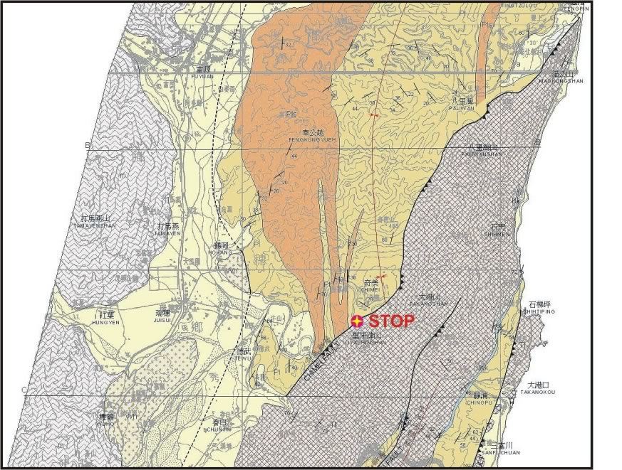
Figure 1.
Geological map of the north-central Coastal Range (from Wang and Chen, 1993)
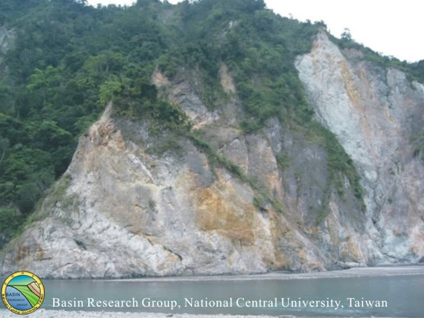
Figure 2.
Major tectonic contact between the pyroclastic rocks of the Miocene Tuluanshan Formation and the turbidite of the Pleistocene Paliwan Formation along the Hsiukuluan River bank. The former was overthrusted onto the later with vergence towards WNW. The shear zone with crenuation cleavages is well exhibited (photo by B.M. Jahn).
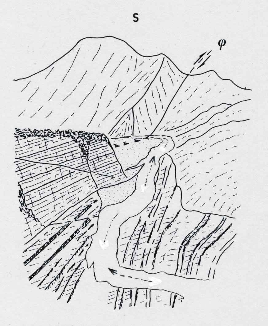
Figure 3.
The Hsiukuluan River profile shows distinct topographic features related to lithologic contrast between the volcanoclastic rocks of the Tuluashan Formation (labeled S) and the turbidites of the Paliwan formation (after Barrier and Chu, 1984).
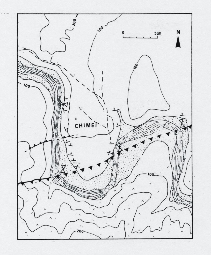
Figure 4.
The Chimei Fault thrusts the Miocene andesites of the Tuluanshan Formation over the Pleistocene turbidites of the Paliwan Formation (after Barrier and Chu, 1984)
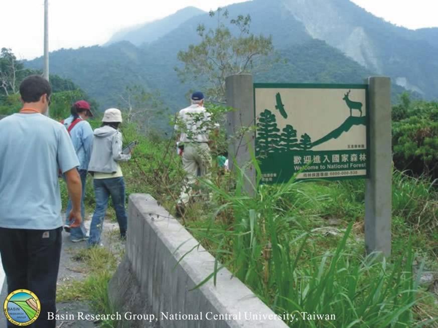
Figure 5.
由此路牌後方產業道路可下至露頭 。
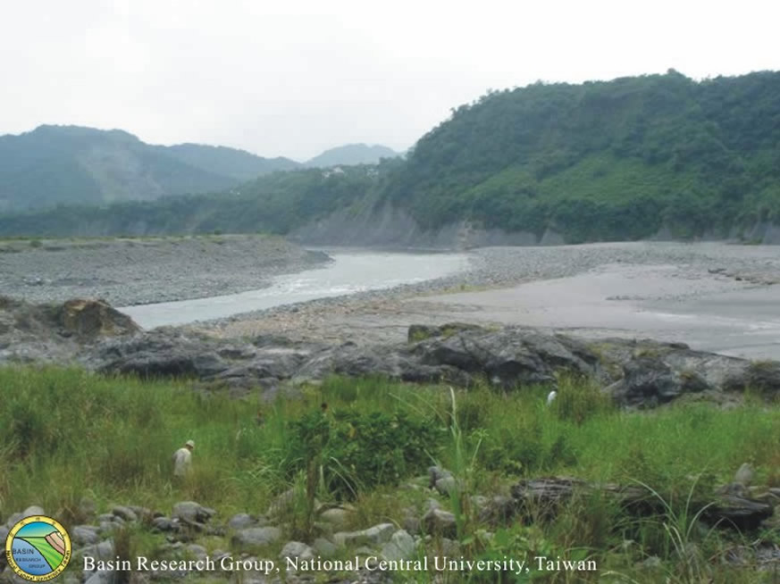
Figure 6.
接到秀姑巒溪溪底 ,需先穿過芒懆叢,才能到達圖中草叢後端的露頭。
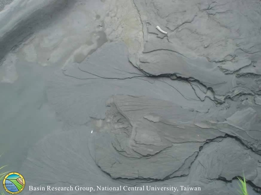
Figure 7.
河床上小水道形成小型的三角洲,在形態可與實際河流所形成的三角洲相對映 ,是天然的微縮模型。
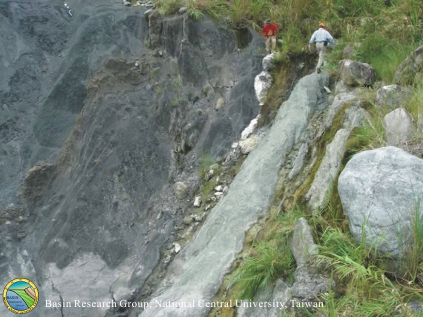
Figure 8.
斷層剪切帶 。圖中間較白的部分即為受強烈剪切後的岩層 。兩側的岩層岩性有明顯的不同 。
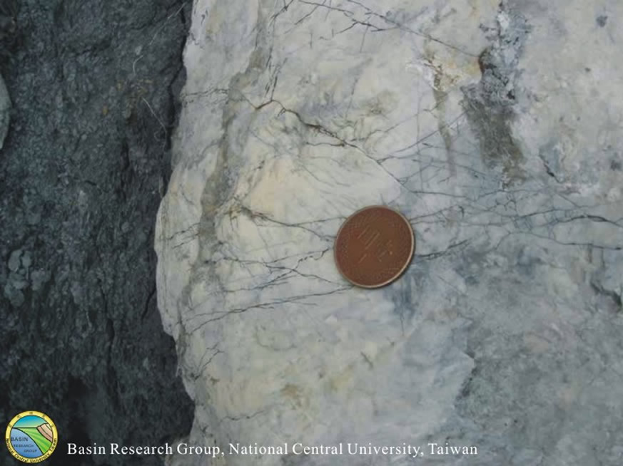
Figure 9.
剪切帶上的石膏 。

Figure 10.
剪切帶近照。
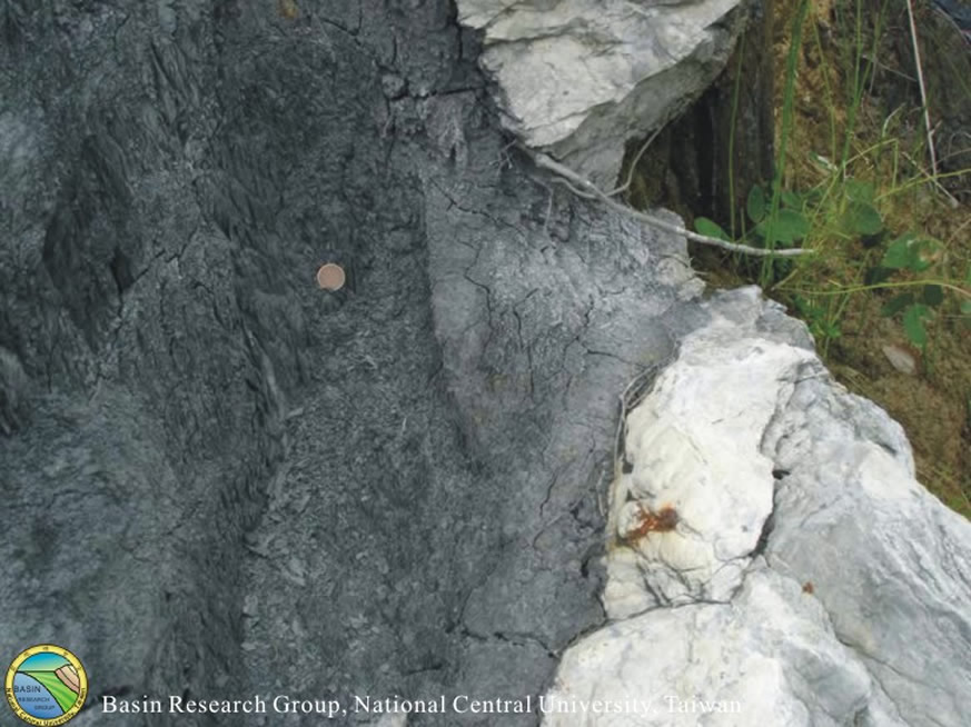
Figure 11.
石膏與泥岩接觸近照 。
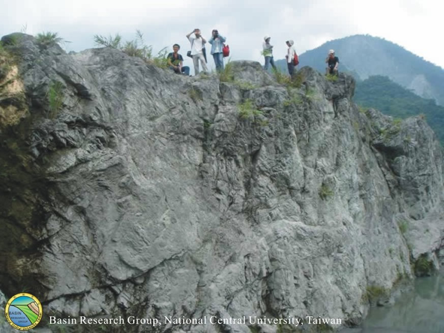
Figure 12.
此為Figure 8.右側的崖坡。
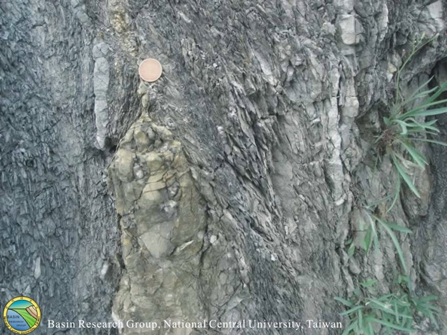
Figure 13.
受強烈剪切的泥岩 。

Figure 14.
受強烈剪切的泥岩。
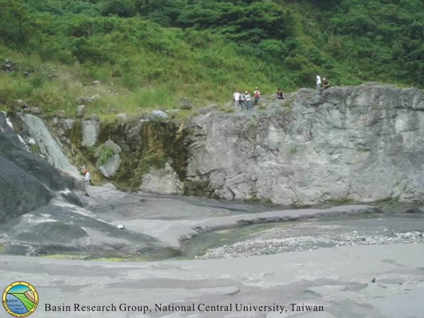
Figure 15.
由河床中央往北回頭拍攝。
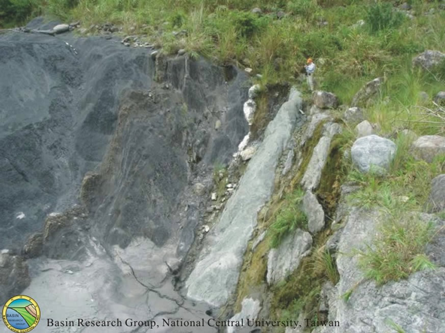
Figure 16.
剪切帶。